Treaty Research
What is the Use and Occupancy Mapping Program?
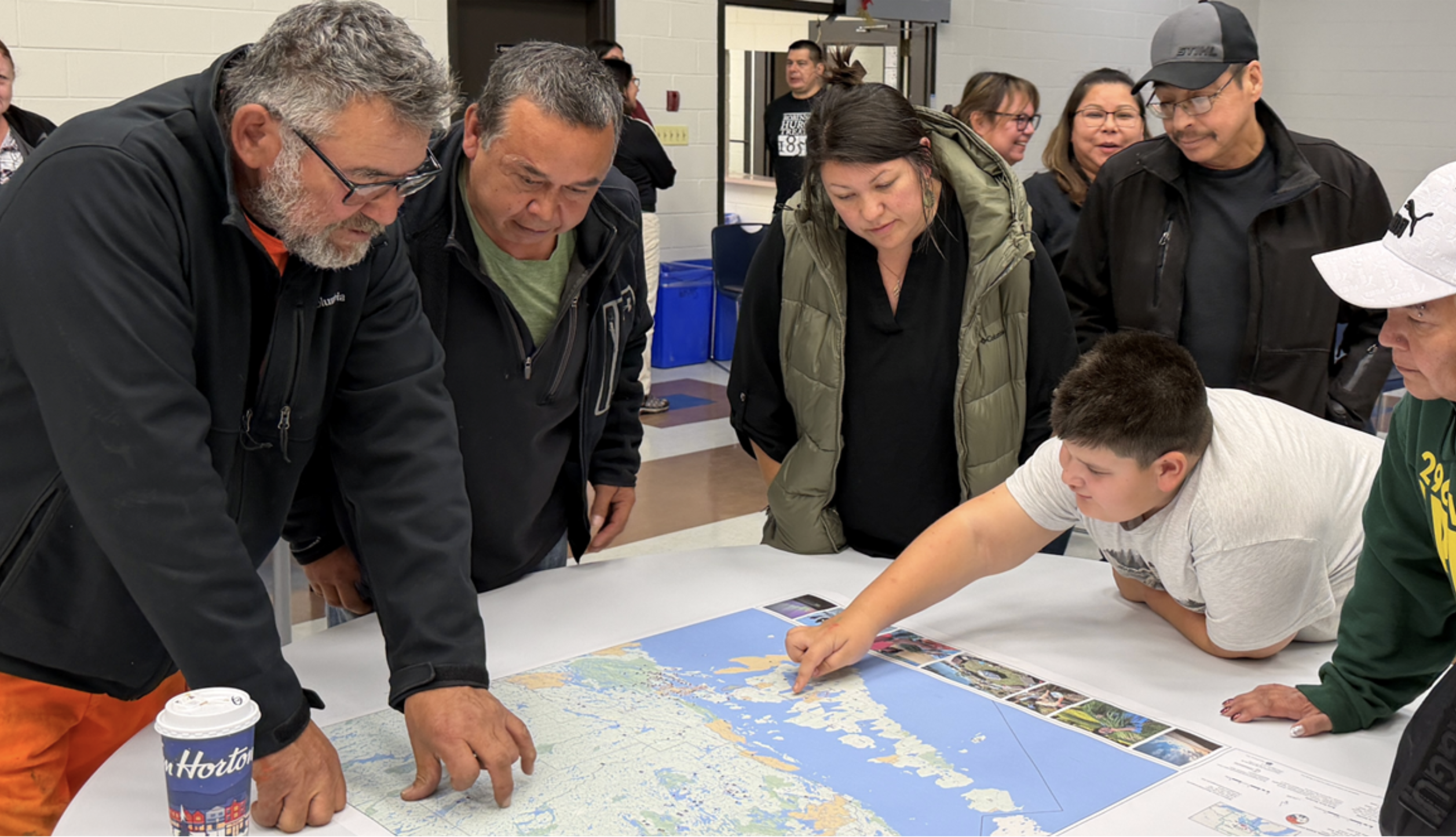
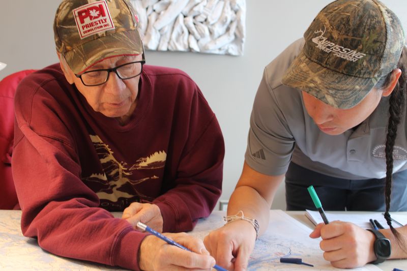
The Use and Occupancy Mapping Program helps strengthen Anishinaabe assertions and protect community interests in territory by building evidence that supports informed decision-making, baseline understanding, impact assessment, land and resource monitoring, and inter-boundary work.
The research design phase began in 2019, with active data collection underway since 2021. The work continues through a phased approach across participating communities.

Projects and activities
Impact and outcomes
The program is producing practical governance value by helping communities build strong evidence for land and resource decision-making, impact review, monitoring, and inter-boundary discussions.
Phase One Communities are already utilizing their unique data sets in a variety of contexts from land claims, responding to Consultation requests, Fisheries and Environmental management.
It is also strengthening internal capacity within RHW by expanding experience in applied cultural research, Oral History, Place Names mapping, Mapping Spatial Aspects of Traditional Ecological Knowledge (TEK), research design, methodology development and implementation.
News
- RHW Use and Occupancy meets the halfway mark! 11 of the 21 communities have been completed.
- The program continues to move forward in phases across participating communities, with additional communities interested in joining as capacity allows.
- Mentorship and transition work are underway to support RHW’s long-term internal capacity in applied cultural research and Use & Occupancy methods.
- Knowledge-at-Risk (KAR) interview and processing opportunities are being considered as related work.

Upcoming initiatives
- Ongoing mentorship and transition work to strengthen RHW’s in-house research capacity.
- Further oral history and place names work where directed and approved.
- Continued raw data processing, digitization, and archiving support.
- Expansion of GIS portal development and training for community technicians.
- Potential KAR-related interview and processing work.
Resources
| Title | Content | Categories | Link |
|---|

Events
- 08Sep
Join us at the RHT of 1850 Gathering, co-hosted by Wasauksing First Nation and Shawanaga [...]
Let’s connect
Reach out to us for more information on our work.
- Stefanie Recollet
Use and Occupancy Research Analyst